Nearly 300,000 people face Himalayan flood threats as construction in danger zones surges 46%
A new Scientific Reports study estimates that 293,800 people in parts of the Himalayas face potential flood exposure, as building development near rivers increased by 46% between 2016 and 2023. Construction in areas threatened by glacial lake outburst floods rose by 78%.
- Approximately 293,800 people, representing 18% of the study area's population, may be exposed to potential Himalayan flooding.
- Building footprints near vulnerable river channels increased by 46%, while development within modelled glacial flood zones rose by 78%.
- Researchers identified significant gaps in existing building databases and warned that population exposure estimates remain uncertain.

Nearly 300,000 people in parts of the Himalayas may be living in areas potentially exposed to flooding, as rapid construction increasingly extends into vulnerable mountain catchments, according to a new scientific study.
Published in the peer-reviewed journal Scientific Reports on 8 October 2026, the research found that building footprints within potential flood zones expanded by approximately 46% between 2016 and 2023.
Development within areas threatened by glacial lake outburst floods increased even faster, rising by approximately 78% over the same period.
The study, titled Increasing exposure to potential flooding in high-mountain catchments, examined northern Nepal, neighbouring parts of south-eastern Tibet and sections of India's Uttarakhand.
Led by C. Scott Watson of the University of Leeds, nine researchers assessed changes in construction and population exposure across mountainous catchments containing 1,361 glacial lakes.
They estimated that approximately 293,800 people, representing 18% of the study area's projected population in 2026, could be living within 50 vertical metres of river channels.
The figure does not represent the entire Himalayan population potentially exposed to flooding, as the research covered selected catchments rather than the wider mountain region.

Building development near Himalayan rivers increases by almost half
The researchers examined areas extending up to 50 kilometres downstream from glacial lakes, using satellite-derived building inventories to measure changes in development between 2016 and 2023.
Their findings showed that the combined building footprint within 50 vertical metres of river channels increased from 12.38 square kilometres to 18.04 square kilometres, representing growth of approximately 46%.
The measurement refers to the ground area occupied by buildings, rather than the total geographical area classified as flood-prone.

Within modelled inundation zones associated with potentially dangerous glacial lakes, building footprints increased from 0.72 square kilometres to 1.28 square kilometres, equivalent to growth of approximately 78%.
These inundation zones were derived from previously published modelling of glacial lake outburst floods, covering 285 lakes identified as having high outburst potential within the study area.
The researchers applied a minimum modelled flood depth of 0.2 metres when assessing building exposure within those zones.
Their analysis found increasing building exposure across Nepal and China, although no clear trend emerged in the comparatively smaller Indian transboundary catchments.
In Nepal, development exposed to potential flooding was concentrated mainly in the lower reaches of the catchments.
In contrast, exposure within China's transboundary Koshi River catchment was more evenly distributed across the first 50 kilometres downstream.
Study estimates more than 108,000 people exposed in Nepal's lake catchments
Using WorldPop population projections, the researchers estimated that 293,800 people could be living within 50 vertical metres of waterways across the study area in 2026.
The study area's total projected population was approximately 1.61 million.
For glacial lake flow paths specifically, the researchers estimated that 144,400 people, or 9% of the total catchment population, lived within the same vertical range.
In Nepal, approximately 108,500 people were estimated to be living within 50 vertical metres of glacial lake flow paths, including 22,800 within just 10 vertical metres.
Across all waterways in the study catchments, the population living within 10 vertical metres of river channels was projected to increase from 70,200 in 2015 to 73,273 in 2030.
For the broader 50-metre vertical range, the projected increase was approximately 17,900 people, equivalent to 6%, over the same period.
However, the researchers cautioned that population projections carry substantial uncertainty, particularly in remote mountainous communities where demographic changes and migration patterns are difficult to capture accurately.
Tourism, hydropower and infrastructure drive development along rivers
The study linked increasing building exposure to expanding infrastructure, tourism facilities, hydropower development and limited implementation of land-use planning regulations.
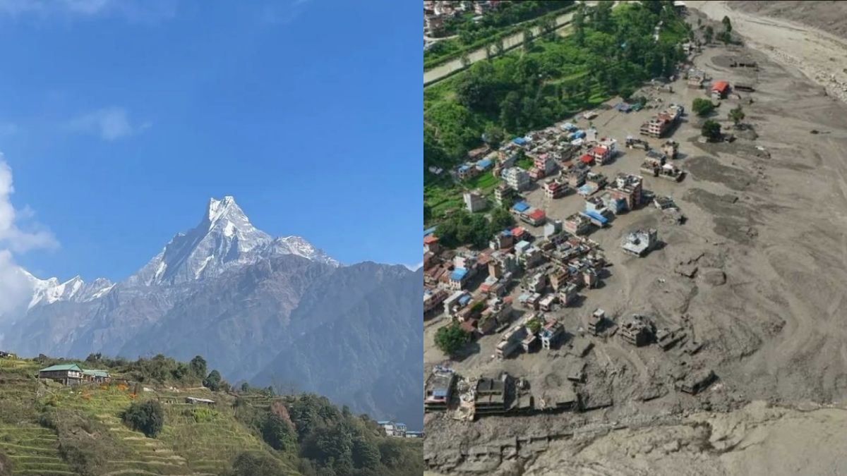
Pokhara, a major tourism centre at the foot of the Himalayas, illustrates the development pressures affecting some mountain settlements.
The city has expanded considerably over the past three decades alongside growing visitor numbers, with development extending into surrounding river corridors.
The researchers also highlighted tourism-related construction near Lamachaur, along the Seti River, as an example of settlement expansion in potentially exposed areas.
Similar development patterns have been documented in eastern Nepal's Kanchenjunga Conservation Area and Sagarmatha National Park, where tourism facilities and road networks have expanded.
The paper noted that Nepal has a national policy supporting risk-sensitive land-use planning based on multi-hazard assessments, but identified shortcomings in its regulatory implementation.
According to the researchers, infrastructure development within river corridors and low-lying floodplains can restrict natural flow pathways and reduce floodwater storage.
The study also cited the destruction of Nepal's Timure inland port during a transboundary glacial lake outburst flood originating in China in 2025.
The port was constructed along a riverbank within the China–Nepal economic corridor.
Five building databases reveal major gaps in Himalayan flood assessments
A central component of the research involved comparing five publicly accessible building footprint datasets against 5,994 manually identified reference buildings across 13 validation sites.
The datasets included Google Open Buildings V3, Google Open Buildings Temporal 2.5D, OpenBuildingMap, Overture and OpenStreetMap.
Researchers found substantial differences in the number and combined area of buildings recorded by the datasets, raising concerns about their reliability for estimating exposure.
Within the glacial lake catchments, building counts ranged from 528,025 in Google's temporal dataset to 911,315 in OpenBuildingMap.
Google Open Buildings Temporal 2.5D achieved the highest median accuracy score of 0.68, followed by Google Open Buildings V3 at 0.62.
The other three datasets each recorded a median score of 0.51.
The researchers selected Google's temporal dataset for their historical assessment because it performed best during validation and provided annual building information between 2016 and 2023.
Nevertheless, they acknowledged that even the best-performing dataset contained errors, including missing buildings and incorrectly identified structures.
Climate change and glacial retreat add to Himalayan flooding concerns
The paper identified seasonal monsoons, extreme rainfall, debris flows and glacial lake outburst floods as major flooding hazards affecting high-mountain catchments.
Climate change, glacier retreat, emerging glacial lakes and degrading permafrost can interact with unstable mountain landscapes, increasing the potential for damaging flooding and mass movements.
Steep terrain and narrow valleys can also intensify flood impacts, particularly when sediment mobilisation, erosion or temporary river blockages trigger secondary hazards.
To assess potential exposure, the researchers used a measurement known as height above nearest drainage, which calculates the vertical elevation of buildings relative to nearby river channels.
This approach accounts for differences in mountain topography that conventional horizontal-distance measurements may overlook.
However, the authors stressed that the method does not simulate individual flood events or account for dynamic factors such as temporary damming, changing water levels and hydraulic restrictions.
The paper also distinguished between exposure and vulnerability, noting that the presence of buildings or people within potentially affected areas does not automatically establish the severity of possible losses.
The researchers stated that improved building inventories, higher-resolution topographical information and more comprehensive population validation are needed to strengthen future assessments.
They also identified the potential value of combining exposure datasets with flood-depth modelling, early-warning systems and risk-informed land-use planning.
Recent Himalayan disasters leave more than 1,400 dead and thousands missing
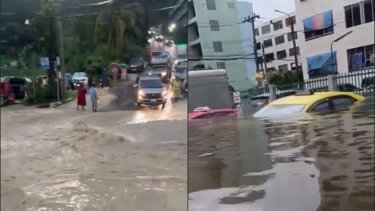
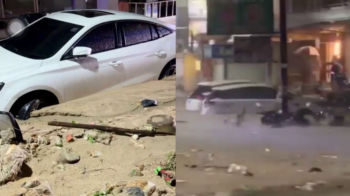
The study was conducted before catastrophic flooding across the wider Himalayan river system in August 2026, which reportedly killed more than 1,400 people and left thousands missing in Nepal.
Following a mudslide at Gyirong Port on the China–Nepal border in Tibet on 26 August 2026, local authorities confirmed 43 deaths, with another 519 people reported missing.
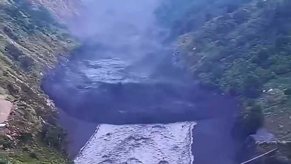
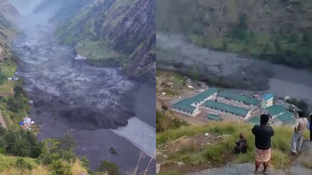
On 11 October 2026, a separate flash flood struck Nepal's Gorkha district after a dry landslide blocked the Budhi Gandaki River near Chumchet in Chumnubri. The resulting natural debris dam subsequently burst.
More than 200 homes were damaged or destroyed, five bridges were swept away and five people were reported missing.
Parts of the 341-megawatt Budhi Gandaki hydropower station at Selleri were also damaged.
Between 300 and 650 people were reportedly directly affected, while more than 100 foreign trekkers became stranded in the Manaslu Conservation Area after floodwaters destroyed sections of trekking trails.