Anak Krakatau eruption spreads ash across Indonesia, disrupting flights, schools and daily life
Anak Krakatau remains at alert Level III as eruptions send ash across Java and Sumatra, disrupting flights and schools while authorities maintain close monitoring.
- Anak Krakatau’s continuing eruptions have spread ash across Java, Sumatra and surrounding waters.
- Eight airports remained closed Monday, affecting about 170,000 passengers amid widespread flight cancellations.
- Authorities have maintained Level III alert status and said no deaths or injuries have been reported.

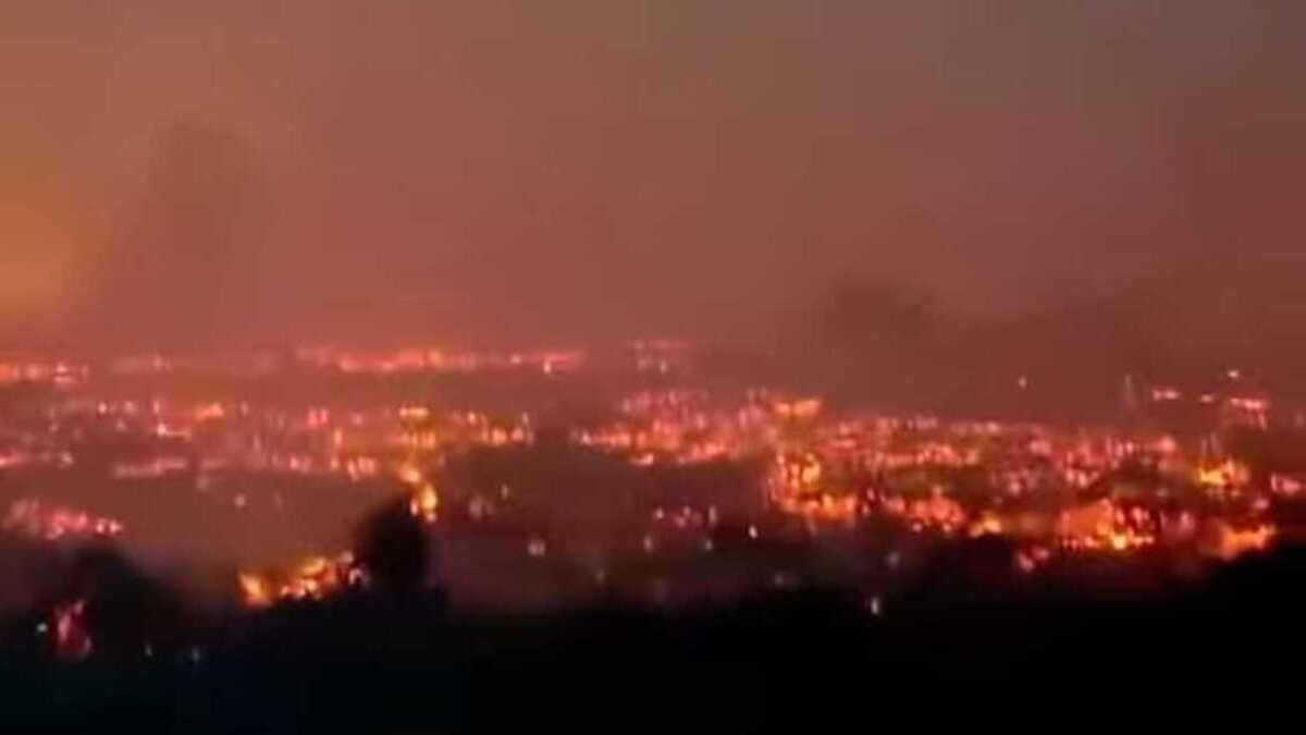
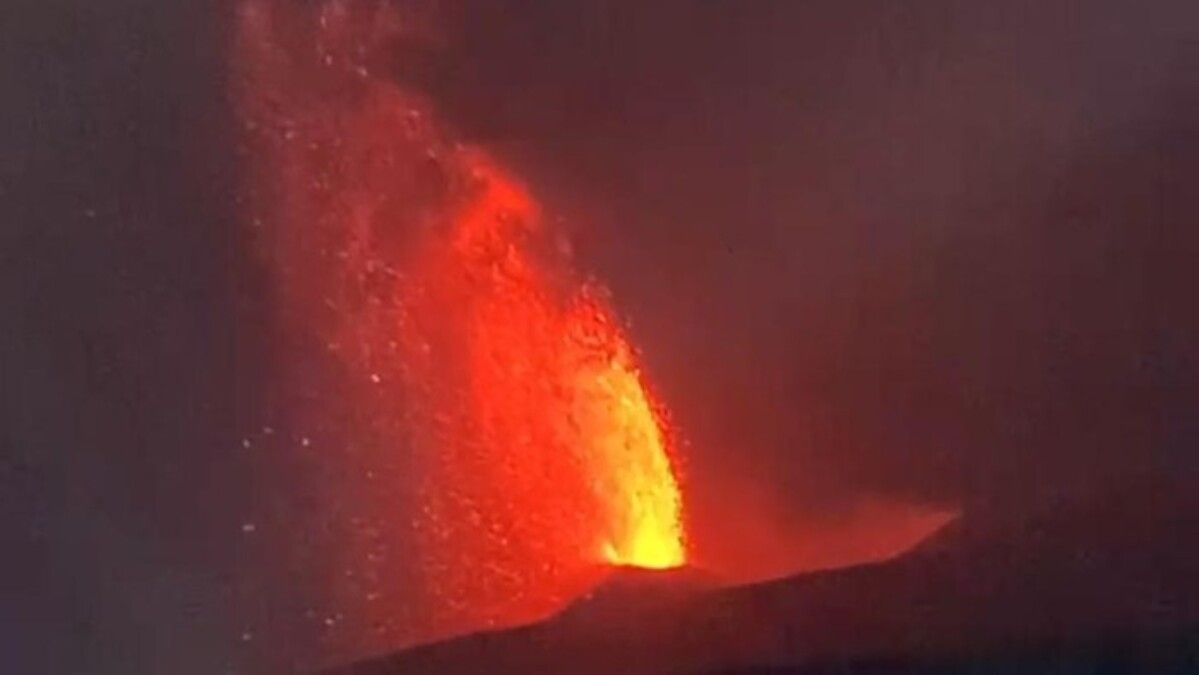
Mount Anak Krakatau in Indonesia’s Sunda Strait has continued erupting, sending volcanic ash across parts of Java and Sumatra and disrupting air travel, education and daily activities as authorities maintain heightened monitoring of the volcano.
The volcano began a period of more intense eruptive activity late on Friday, 4 September, with continuous eruptions accompanied by rumbling sounds and lava fountains.
Further eruptions were recorded on Sunday, including events lasting 30 seconds at 3.53am local time and 16 seconds at 7.10am, according to Indonesia’s Geological Agency.
Satellite analysis showed that volcanic ash had spread in two main clusters at different atmospheric levels. Ash at lower altitudes was carried towards areas including Jakarta, Banten and West Java, while material at higher altitudes moved towards Lampung, Bengkulu, the southern Sunda Strait and the Indian Ocean.
As of Monday morning, ash was still spreading from Anak Krakatau. The Meteorology, Climatology and Geophysical Agency (BMKG) said ash remained capable of reducing air quality and visibility and could disrupt aviation at certain altitudes.
There have been no reported deaths or injuries from the current eruption. The principal impacts so far have been disruption to aviation, schools and other activities, although authorities continue to monitor the volcano because its activity remains dynamic.
Why has the ash spread so widely?
The unusually broad distribution is linked to the height of the eruption columns and changing wind directions at different levels of the atmosphere.
Erma Yulihastin, a climatologist and climate-change researcher at Indonesia’s National Research and Innovation Agency (BRIN), told BBC Indonesia that the wider ash distribution followed a stronger explosive phase on Friday night. The eruption column was estimated to have reached between 13 and 17 kilometres above the volcano.
At such heights, volcanic ash can enter different atmospheric layers where winds may travel in different directions. Lower-level ash can therefore move towards populated areas on Java, while material carried higher into the atmosphere can travel towards Sumatra and the Indian Ocean.
The Geological Agency said ash had been observed at around 15 kilometres above sea level moving towards the southwest and west, while ash at approximately six kilometres was being carried eastwards.
Fine particles left over from earlier eruptive phases were also detected moving towards the southern Sunda Strait.
The BMKG said on Monday that satellite imagery showed ash moving in different directions depending on altitude.
At lower levels, up to about 4.57 kilometres, ash was moving towards the southeast and northwest, affecting parts of Jakarta, Banten, Lampung and West Java. At higher levels, up to about 15.24 kilometres, ash was moving towards the southwest and west.
Flights disrupted across Indonesia
The ash cloud has had its most immediate impact on aviation.
Volcanic ash poses a serious hazard to aircraft because fine particles can enter jet engines, where they can melt and adhere to engine components, potentially affecting airflow and engine performance. Ash can also reduce visibility and accumulate on aircraft surfaces.
Indonesia temporarily closed several airports as ash entered the airspace. By Monday morning, local medias reported that eight airports remained closed, including airports serving Jakarta, Lampung and West Java. The disruption had affected around 170,000 passengers.
On Sunday, authorities reported hundreds of cancelled flights, with Soekarno-Hatta International Airport in Tangerang, the main gateway to Jakarta, among the facilities most severely affected. The disruption included international services.
Authorities have continued to assess airport operations according to the movement of the ash cloud and aviation-safety conditions.
Schools move to remote learning
The eruption has also affected education in several areas.
Jakarta ordered schools at all levels to switch to remote learning from Monday, 7 September, as a precaution against exposure to volcanic ash.
Lampung also introduced temporary remote learning, while local governments in Banten and West Java have allowed or ordered affected schools to move classes online depending on local conditions.
Tangerang Regency in Banten has also required kindergartens, primary schools and junior secondary schools to conduct remote learning from 7 to 9 September because of the ash.
Authorities have particularly highlighted children and other vulnerable groups because volcanic ash can affect respiratory health.
Health risks from volcanic ash
Volcanic ash is made up of fine particles of pulverised rock, minerals and volcanic glass. Exposure can irritate the eyes, throat and respiratory system.
People exposed to significant amounts of ash may experience coughing, throat irritation and breathing difficulties. Those with existing respiratory illnesses such as asthma or chronic obstructive pulmonary disease can be particularly vulnerable.
Health authorities have advised residents in affected areas to reduce unnecessary outdoor activity, keep windows closed where possible and use suitable protective masks when outside. People experiencing breathing difficulties or other significant symptoms have been advised to seek medical attention.
Ash can also contaminate water and food supplies if it accumulates in uncovered sources, making protection of drinking water and food important in affected areas.
The current alert level remains Level III
Anak Krakatau has been at Level III, or Siaga, since 2 July 2026. Before the latest escalation, eruptions had generally been smaller, producing relatively low ash columns and affecting areas close to the volcano.
The Geological Agency has maintained a three-kilometre exclusion zone around the crater. Officials have warned that the restricted area could be expanded if the volcano's energy increases significantly, eruptive material travels farther, deformation rises or changes occur in the volcano's morphology.
The Geological Agency has also stressed that a decline in seismic amplitude does not necessarily mean that the eruption has ended. Monitoring data on 6 September showed a significant decline in seismic amplitude, but officials said the volcano remained highly dynamic and activity could increase again.
No repeat of the 2018 tsunami so far
The current eruption has revived memories of the deadly December 2018 disaster, when part of Anak Krakatau's flank collapsed into the sea during an eruptive period and generated a tsunami in the Sunda Strait.
Indonesia's disaster agency recorded 437 deaths from the 2018 tsunami, along with 14,059 injuries and thousands of displaced people.
However, officials have stressed that not every eruption produces a tsunami. Indonesia's Geological Agency said the present morphology of Anak Krakatau differs from that before the 2018 flank collapse and that recent mapping had not identified significant changes indicating an immediate tsunami threat.
The volcano nevertheless remains under close observation because the scale and duration of future eruptions cannot be predicted precisely.
Six volcanoes erupted within days
The Anak Krakatau activity has also occurred amid a period of heightened volcanic activity elsewhere in Indonesia.
Six volcanoes — Ibu in North Maluku, Semeru in East Java, Lewotobi Laki-laki and Ili Lewotolok in East Nusa Tenggara, Sinabung in North Sumatra and Anak Krakatau in the Sunda Strait — recorded eruptions around 31 August.
The simultaneous activity prompted questions about whether the volcanoes were connected. Indonesia's Centre for Volcanology and Geological Hazard Mitigation (PVMBG), however, said there was no evidence that the eruptions were linked.
PVMBG said each volcano has its own magma system and that the eruptions represented independent volcanic processes occurring around the same period. Indonesia has 127 active volcanoes and lies along the Pacific Ring of Fire, making simultaneous volcanic activity possible without a common trigger.
For Anak Krakatau, monitoring of seismic activity, eruption behaviour and ash movement remains continuous. Authorities have urged residents and travellers to rely on official updates as atmospheric conditions and volcanic activity can change rapidly.