Magnitude 7.0 earthquake in Tibet’s Nagqu kills 16 and injures 46, state media reports
A magnitude 7.0 earthquake struck Baqen County in northern Tibet on 22 October 2026, killing at least 16 people and injuring 46. More than 400 aftershocks have followed, as rescuers and relief supplies reach the high-altitude disaster zone.

- A magnitude 7.0 earthquake in Tibet’s Baqen County killed at least 16 people and injured 46.
- 339 households’ homes collapsed or were damaged; 413 aftershocks were recorded by Friday morning.
- Thousands of rescuers and over 10,000 relief items have been sent to the high-altitude area.

At least 16 people have been killed and 46 injured after a magnitude 7.0 earthquake struck Baqen County in Nagqu, northern Tibet, late on Thursday, 22 October 2026, according to Chinese state media.
The China Earthquake Networks Center (CENC) said the quake struck at 10.33pm local time at a depth of 10 km. It is the strongest earthquake recorded in China so far this year.
According to figures released by the Nagqu municipal earthquake relief headquarters as of 5.20am on Friday, 23 October 2026, 11 of the injured were seriously hurt and 35 sustained minor injuries.
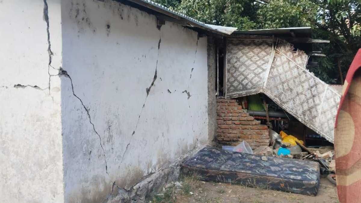
The same update recorded 339 households whose homes had collapsed or been damaged, as well as 20 damaged livestock pens. Officials said the assessment of losses was continuing.

Rising casualty count
An earlier tally, which the state news agency Xinhua reported at 2.25am on Friday citing the Nagqu Emergency Management Bureau, listed 16 deaths and 32 injuries. That tally put the number of households whose homes had collapsed at 339.
In the update issued about three hours later, the number of injured rose to 46. The death toll did not change.
Radio Free Asia (RFA), a US-based broadcaster, separately reported at least 18 deaths. That figure has not appeared in any official Chinese tally published so far.
Initial information after the quake was limited. Hong Kong media reported that as of about 1am, two injured residents had been found in Gangqie Township and taken for treatment.
Epicentre and impact
CENC placed the epicentre at 32.40 degrees north and 93.79 degrees east. According to Xinhua, it lay in Maru Township, about 70 km from the Baqen county seat.
According to a report by The Paper, the villages of Lengda, Puqin and Gaijiaka lie within 5 km of the epicentre. Gangqie and Maru townships are within 20 km.
CENC data put the average elevation within 5 km of the epicentre at about 4,864 metres. The surrounding area is sparsely populated.
The Associated Press, citing the United States Geological Survey (USGS), reported that the epicentre was 191 km east-north-east of Nagqu city, at a depth of 18 km.
Xinhua reported that the shaking was strong in the Baqen county seat, where power was cut and communications were disrupted.
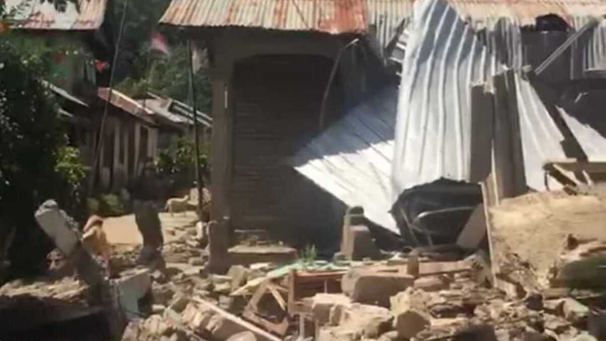
Lhawang Dabu, deputy head of Maru Township, told Xinhua that walls of the township government building had cracked and that some houses had collapsed.
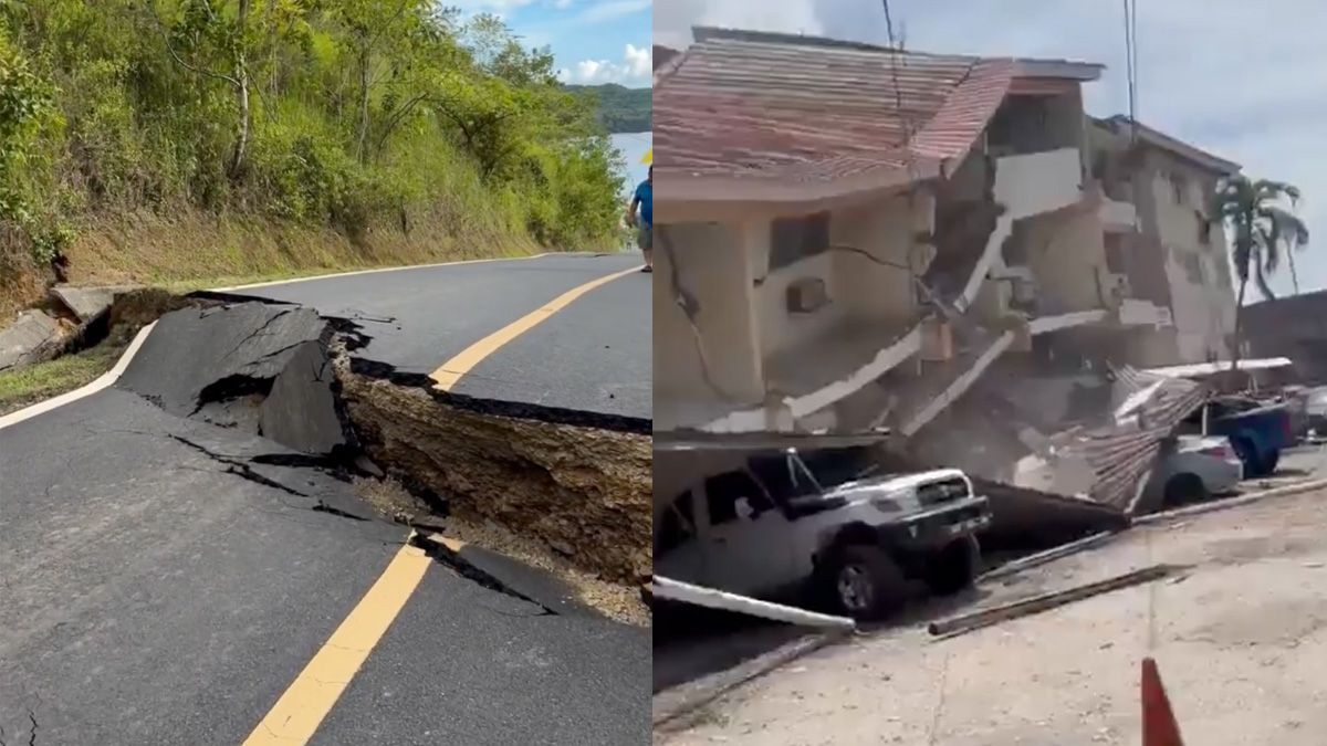
A China Central Television (CCTV) reporter who reached Maru Township saw cracked houses and fissures in some roads. By then telecommunications and internet services had been restored, and tents had been put up for villagers.
Shaking was felt in Lhasa, Nyingchi and Chamdo. According to the Nagqu Emergency Management Bureau, tremors were strong in Sog County and were also felt in Biru and Lhari counties.
In Chamdo, residents of high-rise buildings in Banbar and Dengqen counties moved outdoors, and schools assembled pupils on playgrounds. The city reported no casualties and sent an 80-member team to inspect nearby counties.
Accounts from residents
A Baqen resident surnamed Li told The Beijing News that he was asleep when the earthquake struck. He said the shaking was so strong that his house creaked loudly.
He said many residents had left their homes and were afraid to go back, and that he was driving in search of open ground.
Surveillance footage released by local media showed rooms shaking violently and goods falling from shelves as people ran outside.
CENC recorded 413 aftershocks as of 7am on Friday. Twenty measured magnitude 3.0 or above, five of them between 4.0 and 4.9. The largest measured 4.3.
Emergency response
The China Earthquake Administration (CEA) activated a level II emergency response, its second-highest tier.
The Office of the State Council Earthquake Relief Headquarters and the Ministry of Emergency Management (MEM) launched a level IV national earthquake disaster response and sent a work team to the area.
The National Disaster Prevention, Reduction and Relief Commission and the MEM also launched a level IV national natural disaster relief response. The ministry allocated 5,000 central reserve items, including cotton tents, coats, quilts and folding beds.
A further 5,000 items, including cotton tents and heating stoves, were coordinated from local stocks.
The Tibet Autonomous Region emergency command activated a level II regional earthquake response from 11pm on Thursday.
Tibet Communist Party Secretary Hu Changsheng and regional chairman Gama Cedain went to the regional stability maintenance command centre immediately after the quake to direct the response. Hu Changsheng then travelled overnight to the disaster area.
According to Tibet Daily, Hu Changsheng arrived at Sog County People’s Hospital at 7.15am on Friday to visit the injured. He called for the injured to be treated “at all costs”, with an individual treatment plan for each patient.
Hong Kong outlet HK01 reported that President Xi Jinping had called for all-out search and rescue efforts to keep casualties as low as possible.
Rescue deployment
The Tibet Fire and Rescue Corps sent 347 personnel, 82 fire engines and 15 search dogs from Nagqu, Chamdo and Lhasa. They carried more than 4,200 pieces of equipment and over 9,400 items of supplies.
At 2.10am on Friday, an eight-member forward team from the Baqen fire brigade reached the scene and began searching collapsed houses. Firefighters from Sog County were reported to be inspecting Nagong village in Gangqie Township.
Baqen County has deployed more than 1,600 people to frontline relief work. The Nagqu fire brigade sent 110 personnel and 25 vehicles. The Nagqu detachment of the People’s Armed Police (PAP) sent 225 officers and 18 vehicles.
The Tibet Military Command and the PAP Tibet Corps sent more than 300 troops and over 20 vehicles overnight. Troops from the Nagqu military sub-district reached Zharogai village in Maru Township at about 3am.
There they surveyed collapsed buildings, put up tents and opened a temporary food point for residents. Air force units of the Western Theatre Command were reported to have sent a drone to survey the area.
Tibetan police sent more than 300 officers to the core disaster zone.
Other teams headed to the area included the MEM’s natural disaster engineering rescue base in Lhasa and the Blue Sky Rescue team. A first contingent from China Railway Group arrived at 4am.
Relief supplies and infrastructure
According to the Nagqu municipal publicity department, supplies from the central, regional, city and county levels had begun arriving by 4.30am on Friday.
These included 1,000 prefabricated units, 3,239 tents, 2,821 folding beds, 4,280 quilts, 200 stoves, 2,000 sets of padded clothing, 1,760 military greatcoats, four generators and 2,000 torches and headlamps.
In the early hours of Friday, local officials and residents put up emergency tents on a primary school playground in Jiangmian Township.
Transport authorities said falling rocks forced traffic controls on part of the G317 highway between Sog County and Zala Township in Biru County. The road was cleared and reopened at 3am.
State Grid Tibet said that by 2am it had deployed 23 emergency staff, six vehicles, 49 lighting units and two generator trucks to keep the power supply stable.
The quake affected parts of the Golmud to Lhasa section of the Qinghai–Tibet Railway. Railway authorities halted trains and closed the affected sections for inspection. They said passengers were safe and had been given food and water.
Health authorities activated a level III emergency response. Blood supplies and medicines were sent overnight, and medical experts were dispatched to the area.
Seismic background
The USGS assessed that the quake was caused by normal faulting, which is consistent with east-west extension of the Tibetan Plateau. It estimated that the rupture measured about 50 km by 20 km.
Southwestern China is prone to strong earthquakes because the Indian plate is colliding with the Eurasian plate. This collision formed the Himalayas and the Tibetan Plateau.
According to CENC, the last earthquake in China of magnitude 7 or above was a magnitude 7.1 quake in Wushi, Xinjiang, on 23 January 2024. That quake killed three people.
In January 2025, an earthquake in Tingri County in Tibet’s Shigatse killed at least 126 people. In December 2023, more than 100 people died in an earthquake in Jishishan County, Gansu.
In 2010, a magnitude 7.1 earthquake struck Yushu in neighbouring Qinghai and killed at least 2,698 people.
HK01, citing city government figures, reported that Nagqu covers about 353,000 sq km and has a resident population of around 500,000, mostly Tibetan.
Officials said they were still verifying losses and that search and rescue operations were continuing.